
DDOT presents three options for Grant Circle safety changes, looks for feedback
/
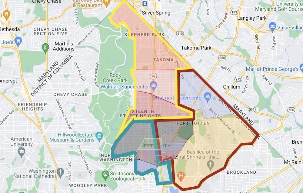
Grant Circle -- Source: DDOT's Rock Creek East II Livability Study
DDOT presented an update on their research on Grant Circle traffic and pedestrian safety. Readers may remember Petworth News getting involved in the discussions surrounding pedestrian safety almost from the beginning of the blog, and pushing for changes to the Circle. Some changes have been made, but they’re temporary. DDOT’s now looking at three options to potentially move forward with after a test later this month — and those learnings will impact Sherman Circle changes as well.
The main takeaway from the meeting is that DDOT is planning on doing a test during the week of May 22nd to close one lane of Grant Circle using movable barriers. Twice a day during peak hours, 6:30am - 9:30am, then 4-7pm, the barriers will go up and DDOT will measure the traffic queueing back up along New Hampshire Avenue, Illinois and 5th Streets.
According to DDOT, Grant Circle has about 10,000 vehicles use the circle each day, with 80% of the cars in the outer lane, and 20% in the inner lane (they did not have any data on bicyclists using the circle). DDOT’s concern about changing the structure of the circle is based on several factors, including difficulty in predicting Circle traffic patterns (compared to normal two or four stop streets).
All approaches to the circle are unsignalized and controlled by stop or yield signs • Five unsignalized crosswalks into the circle
11 and 12 foot wide travel lanes, and one 17 foot wide parking and bus stop lane
New Hampshire Avenue has one travel lane in each direction north of the circle and two south of the circle
DDOT looked at crash data from 2013 to 2015 to determine areas of pedestrian and vehicle safety. According to their research, there were 14 total crashes, including 8 with injuries, no crashes involving pedestrians, 4 crashes involving bicyclists and no fatalities or disabling injuries. Crash data is based on police reports from MPD. However, it's important to remember that MPD does not fill out a PD Form 10 for a collision unless certain factors occur, such as an injury, if the vehicle can’t be driven away or if the collision involves a government vehicle. A fender bender doesn't get a police report.
Petworth News covered the issue of DDOT erroneously depending upon police reports almost two years ago (see: “Is DDOT using incomplete data for traffic safety analysis?” July 20, 2015). So the crash data DDOT is using for Grant Circle (and similarly for Sherman Circle) may very well be incomplete.
According to Colleen Hawkinson, the Strategic Planning Branch Manager who presented DDOT’s proposed changes to Grant Circle, DDOT is proposing the changes to the Circle solely due to resident feedback and safety concerns. Ted Van Houten from DDOT presented the three proposed changes that the agency is considering.
View the full DDOT presentation as a PDF.
DDOT’s first purposed design is moving to a one-lane only design, shutting down the inner lane of the circle, decreasing the pedestrian crosswalks from 40 feet to 20 feet and including a protected, buffered bike lane. This proposed solution could result in traffic backups along New Hampshire Avenue, said Van Houten. It’s also not supported by Ward 4 Councilmember Brandon Todd. According to Todd’s office, the Councilmember doesn’t favor the one-lane solution (he live nearby) but is open to learning more from DDOT’s tests.
The second design also is a one-lane design that narrows traffic in the circle to one lane and adds a cycle track. Crosswalks into the circle would be shorter, with bus stops moved off the curb.
The third design is to keep two-lanes and add more flexposts and paint striping, along with a single lane entrance and exit from New Hampshire Avenue, raised crosswalks and a buffered bike lane. This concept uses flexposts and striping to shift parking off the curb.
According to DDOT, the one lane concept will see “significant queuing of traffic.” Their report says: “AM Peak Hour – Significant queuing impacts projected for southbound New Hampshire and Illinois Avenues, and queues likely to impact other intersections • PM Peak Hour – Queues projected to increase on all approaches, but with only slight impacts on other intersections”
Results of analysis indicate a negative impact on traffic flow if circle is reduced to a single travel lane – At peak times, New Hampshire approaches and southbound Illinois approach currently operate with volumes near or exceeding available capacity – Reducing to one lane will increase delays and queues, especially north of the circle during AM peak – Volumes on several approaches would further exceed available capacity – Drivers would likely find other routes that divert away from Grant Circle
Petworth News worked with HotelsNearDCMetro.com to create a Google Map of Grant Circle during peak travel times that shows traffic (pink to red areas). You can see where traffic currently backs up, and at what time in the YouTube playlist:
Because DDOT believes modeling of a traffic circle is complex, they want to do the single-lane test to get real world data.
More to come after the test — HotelsNearDCMetro.com will be doing another Google Map analysis of Grant Circle during the week of the single-lane test. Petworth News will publish those results as well.
If you have questions or want to send feedback, email DDOT’s Transportation Planner Ted Van Houten.
My thanks to HotelsNearDCMetro.com for their mapping assistance!

HotelsNearDCMetro.com is a family-run website that helps people navigate DC and the surrounding area to find the best hotels in the area. We're keen advocates of public transit! They help out-of-towners save money by finding reliable and cheap hotels in Washington DC near the Metro. Give them a look, and consider mentioning them to your friends and family looking for advice on visiting DC.
Related Grant Circle Articles: